Part 2 of 4-part series
By Jim Rosenbaum
How do we know the age of rocks? The absolute age of rocks could not be determined until geochemical isotopic dating techniques were developed in the mid-20th century. Until then, the ages of sedimentary rocks were only known relative to each other, as the age of different levels of a layer cake. Lower layers are older than upper layers.
As the Michigan Basin became warped, it became easier for weathering to attack exposed edges of the softer sedimentary layers. This would have taken place when the region was elevated above sea level and exposed to the elements.
Michigan Basin: further landscape evolution & a “Lost Interval”
Fig. 9 is a speculative diagram of the layout of rivers in the area during the long period before glaciers changed the landscape. Surfaces composed of easily erodible shale formations became river valleys. By contrast, surfaces underlain by the tilted Niagara dolomite resisted erosion, forming west facing bluffs.
The youngest bedrock layers now known in the Michigan Basin were deposited in late Paleozoic or mid Mesozoic (Jurassic) Age. These rock formations are now covered by far more recent unconsolidated deposits left by the melting glaciers less than 16,000 years ago. Consequently, there is no geologic information to cover the gap from about 200 million years ago to 16,000 years ago. It is likely that sediments younger than 200 million years were deposited and lithified into rock, but these formations were subsequently eroded. All information they could have provided is gone. Thus, there is a “Lost Interval” (Luczaj, 2008; Velbel, 2009).

Pre-Glacial River Valleys of the Upper Midwest & Southern Ontario
A possible layout of rivers and valleys, in pre-glacial time, that drained the upper Midwest before the establishment of the Great Lakes. Outlines of the future Great Lakes are superimposed. By Robert W. Kelley and William R. Farrand in Glacial Lakes around Michigan, Michigan Geological Survey Bulletin 4, 1967.
By necessity, this account must skip forward over 200 million years to the Pleistocene epoch. Disappointingly, the rock record in the Wisconsin area has not much to say about dinosaurs, the great extinction at the end of the Cretaceous Period 65 million years ago, or the mammalian megafauna that preceded the Pleistocene. Rock formations that would have contained such information are gone.
The Pleistocene: the plot thickens
A general cooling of the planet can be attributed to the closing of the Isthmus of Panama, around 2.5 million years ago. Its closure resulted from mountain-building along the west coast of Central America. That mountain growth is the result of subduction — the sinking, downward movement of a plate of the Earth’s crust beneath another plate — along the roughly 1,800 mile Mid-America Trench off Mexico, Costa Rica and Panama.
The closure of the isthmus blocked ocean currents that previously had exchanged water between the Pacific Basin and the Atlantic Basin. This cooled the climate, according to oceanographers.
But, the Pleistocene Epoch is characterized, even defined, by multiple glacial and interglacial cycles. Is the Isthmus of Panama periodically collapsing and rebuilding? No, the isthmus is thought to be stable.
The major contender to explain this glacial/interglacial cyclicity is the Milankovitch Variations, named for a Serbian geophysicist who was active in the early to mid-1900s. Variations in the Earth’s rotational wobble and the eccentricity of its orbit around the sun were the subject of his research.
Some of these variations affect climate in a way that reinforce each other to produce prolonged cold and warm periods. These cycles have presumably operated for hundreds of millions or billions of years. However, since the climate during the Cenozoic Age was generally warmer before the closure of the Isthmus of Panama, the cold periods were not sufficiently cold to initiate continental ice sheets.
Other charts:
Part 1: Is Earth a geriatric case?
Part 2: The rock of ages
Part 3: Wisconsin, a virtual glacial ghost town
Part 4: Post-glacial events
Food for thought, suggested field trips, and references
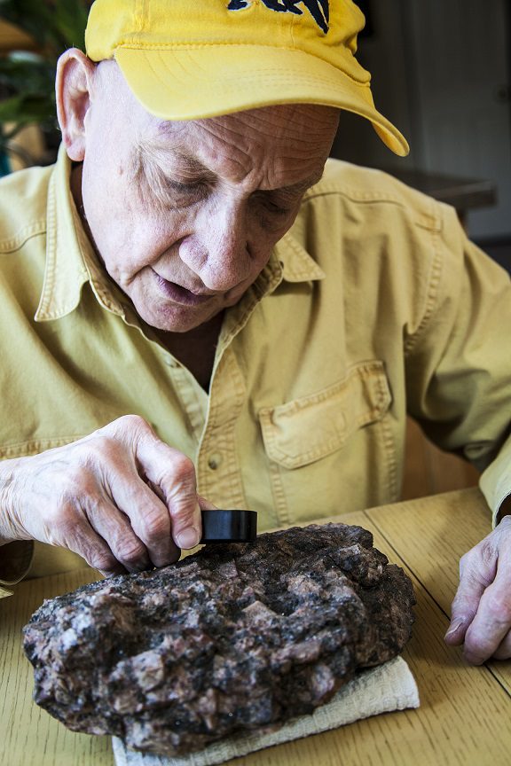
Photo at top of page: Jim Rosenbaum inspecting a chunk of granite he found in Wisconsin. Photo by Dan Patrinos
______________________
Jim Rosenbaum holds a B.A. from Lawrence University and an M.S. from Stanford University, both degrees in geology. Born in Milwaukee, now living in Whitefish Bay, Jim’s long walks along Lake Michigan and formative years in Arizona and Colorado led to his interest in natural history. An avid sailor, he’s negotiated the coastal waters of Lake Michigan along Wisconsin’s shoreline for many years. An article he wrote on beach erosion was included in Focus on Environmental Geology (1976) and in Environmental Geology (1983), both edited by Ron Tank of Lawrence University and published by Oxford. In the 1980s, he migrated into the book business, from which he recently retired. He also holds a B.B.A. from the University of Wisconsin – Milwaukee. A member of the Wisconsin Marine Historical Society, he also belongs to the American Geophysical Union.